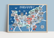
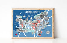
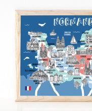
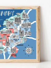
This is a beautiful, high quality digital print of my original illustrated Map of Normandy, France.
The perfect gift to celebrate a beautiful part of the world.
It is printed onto lovely 280gsm paper, that enhances all the original colours of the print. This print is available in four standard A sizes so that it can be easily mounted or framed by you.
Dimensions:
A5: (W)14.8 x (H)21 cm.
A4: (W)21 x (H)29.7 cm.
A3: (W)29.7 x (H)42 cm.
A2: (W)42.0 x (H)59.4 cm.
I will sign all my prints and am happy to provide an inscription if you would like one. I am also available for commissions on request.
Each print will be packaged in a 100% biodegradable protective cello sleeve and posted out in a hard backed envelope to keep them nice and safe on their journey to you! They will each be printed to order, but will be worth the wait!
If you order the A2 size, your print will be carefully rolled, wrapped and posted to you in a secure cardboard tube.
Frame not included.


